From The Map To You
Palo Duro Canyon State Park
What a beautiful Texas State Park! Palo Duro Canyon State Park is located in the Texas Panhandle just east of Canyon Texas.

Trail Notes
What we noticed on the ground
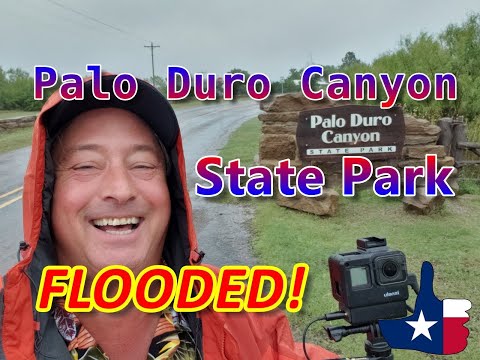
What a beautiful Texas State Park! Palo Duro Canyon State Park is located in the Texas Panhandle just east of Canyon Texas. Palo Duro Canyon is the 2nd largest canyon in North America. Once the home the Plains Indians then Charles Goodnights JA Ranch. Palo Duro Canyon State Park was built by the CCC in the New Deal era. Most of the park was built by the strong backs and hands of you men who were paid a few dollars per month and most of that had to be sent home. The Canyon rim road in Palo Duro Canyon State Park is one notable feature that was dug by hand. During the summer months visitors can attend the Texas Outdoor Musical. This show is an exclusive to Palo Duro Canyon State Park. Our visit to Palo Duro Canyon State Park just happened to co-inside with a heavy rain event so we did not really get to experence the full beauty of the canyon walls. We will be making a return visit to Palo Duro Canyon State Park at some point in the near future. Meanwhile..... Come along with me as I explore Palo Duro Canyon State Park
Living guide
What the weather is usually like at Palo Duro Canyon State Park
NOAA's 1991-2020 climate normals for the Canyon, TX weather station, 15.4 miles from Palo Duro Canyon State Park, show that the warmest month is July (average high 92.7 F) and the coolest is January (average low 22.6 F).
August is usually the wettest month, at about 3.03 inches of rain, and February the driest, at about 0.40 inches. The monthly figures add up to about 18.4 inches in a typical year.
| Month | High (F) | Low (F) | Rain (in) |
|---|---|---|---|
| January | 52.3 | 22.6 | 0.59 |
| February | 56.0 | 24.7 | 0.40 |
| March | 64.6 | 33.0 | 1.06 |
| April | 72.6 | 41.6 | 0.99 |
| May | 81.5 | 52.5 | 2.25 |
| June | 90.3 | 62.3 | 2.68 |
| July | 92.7 | 66.8 | 2.26 |
| August | 91.1 | 65.4 | 3.03 |
| September | 84.3 | 57.2 | 1.90 |
| October | 74.1 | 44.4 | 1.98 |
| November | 61.5 | 32.3 | 0.68 |
| December | 52.0 | 23.7 | 0.63 |
See today's forecast for Palo Duro Canyon State Park (National Weather Service)
The story
The story
Palo Duro Canyon State Park is a 28,000-acre (11,000 ha) state park in Randall and Armstrong counties, Texas, United States.
The park is named for the Palo Duro Canyon which runs through it.
A United States military team under Captain Randolph B. Marcy mapped the canyon in 1852 during their search for the headwaters of the Red River.
The land remained under American Indian control until a military expedition led by Colonel Ranald S. Mackenzie was sent in 1874 to remove the Indians to reservations in Oklahoma.
The Mackenzie expedition captured about 1,200 of the Indians' horses and slaughtered them in nearby Tule Canyon during the Battle of Palo Duro Canyon.
The Comanche and Kiowa conceded and left the area.
Soon after, in 1876, Charles Goodnight and a wealthy Ulster Scot named John Adair established the JA Ranch in Palo Duro Canyon.
Goodnight helped manage the ranch until 1890.
Over the next half century, the canyon remained in private hands but was an increasingly popular tourist spot for residents.
Charles N. Gould made a geological map of the canyon and named the formations in 1905.
In 1931, a major landowner signed a two-year contract with the local chamber of commerce to allow public access to the canyon.
Seven companies of the Civilian Conservation Corps (CCC) developed the park from 1933 until 1937.
Companies 1821, 1823 and 1824 made up of military veterans, companies 2875 and 2876 made up of African Americans, and company 894, a junior group of young men 17 to 25, took part in various construction projects, starting with the construction of Park Road 5, a two-lane road from the rim to the floor of the canyon.
Other CCC projects included the headquarters building, culverts, low-water crossings, bridges, Spring House, Well House, the El Coronado Lodge (now the visitor center), four overnight cabins known as Cow Camp, and the three rim cabins.
In addition, picnic and camping areas were built, complete with tables, seats, fireplaces, and garbage receptacles.
The park opened in 1934 and is managed by the Texas Parks and Wildlife Department.
The upper section of the canyon was purchased by the State of Texas in 1934 and turned into the 20,000-acre (8,100 ha) Palo Duro Canyon State Park.
The spectacle, created by playwright Paul Eliot Green, premiered on July 1, 1966, at the newly constructed Pioneer Amphitheatre in Palo Duro Canyon State Park.
In 1976, Palo Duro Canyon State Park was designated as a National Natural Landmark by the National Park Service.
Amarillo is the largest city near Palo Duro Canyon State Park, but the smaller city of Canyon is nearer.
There are options for camping, with sites for tents with water access and RV campers alike.
There are 16 trails for hiking, cycling, and horseback riding, ranging in length from .05 miles to 4.4 miles.
There are also sites for keeping horses available to campers planning to horseback ride in the canyon.
In addition, lodging cabins are available for rent that sit on the outer rim of the canyon, providing an impressive view of both the canyon and the sunrise.
Group sites and spaces are available for group retreats, youth groups, and weddings.
The Mack Dick Pavilion is a popular location for weddings and receptions, as the canyon provides a beautiful backdrop.
Palo Duro Canyon is the site of an outdoor historical and musical drama, titled Texas, presented annually each summer by actors, singers, dancers, and artists of the Texas Panhandle region.
It has continued each summer through the present, making Texas "the best-attended outdoor history drama in the nation."
Two threatened species live in Palo Duro Canyon State Park, the Palo Duro mouse and the Texas horned lizard.
Other animals include wild turkey, white-tailed deer, mule deer, coyote, and bobcat.
A portion of the Texas State Longhorn Herd are kept here.
Birds observed are golden-fronted woodpecker, Mississippi kite, Bullock's oriole, painted bunting, western meadowlark, lark sparrow and greater roadrunner.
Common trees in the canyon include redberry juniper, honey mesquite, eastern cottonwood, black willow, western soapberry and netleaf hackberry.
Wildflowers and grasses are firewheel, American basketflower, common sunflower, blackfoot daisy, spiny goldenweed, sideoats grama, buffalograss, sand sagebrush, plains yucca and prickly pear cactus.
Sources: https://tpwd.texas.gov/state-parks/palo-duro-canyon https://en.wikipedia.org/wiki/Palo_Duro_Canyon_State_Park
Planning your visit
Planning your visit
Choose from campsites with water and electricity, tent sites, or backpack camping areas.
Stay in one of three cabins on the canyon's rim or four Cow Camp cabins on the canyon floor .
Glamping (luxury camping): Each glamping site is fully furnished with air conditioning, luxury rustic furnishings, refrigerators, microwaves, coffee makers, games, bicycles, gas grills and gas fire pits, covered porches with rockers, porch swings, and much more.
Trails and backpack campsites may close due to wet weather or poor conditions.
Office hours: 7:30 a.m. - 5:30 p.m.
Gate hours: 7:30 a.m. - 10 p.m.
To guarantee entry, reserve passes online or by calling the customer service center before you visit.
Flash flooding is a serious danger.
Entrance Fees Adult : $8 Daily Child 12 Years and Under: Free.
RV notes
RV notes
Elevation 2,759 - 3,463 feet.
Call the park with your rig length before you go.
Frequently asked questions
Frequently asked questions
Q: What is the entry fee?
Entrance Fees Adult : $8 Daily Child 12 Years and Under: Free (TPWD, fetched 2026-10-21).
Q: Can the road flood?
Flash flooding is a serious danger (TPWD, fetched 2026-10-21).
Q: Are there tours or trails?
Explore more than 30 miles of trails on horse, bike or foot (TPWD, fetched 2026-10-21).
Q: When did it open?
The park opened in 1934 and is managed by the Texas Parks and Wildlife Department (Wikipedia).
Updates
Updates
Know Before YOU Go
Here’s what I’d tell you before you roll in
- Typecampground
- GPS34.9372503, -101.6589305
Campnab
Want the best campsite?
I do too.
I want the right site, on the right dates — not just whatever happens to be left when I make the reservation.
That's why I use Campnab.
I tell Campnab the campground, my dates, and the sites I'm looking for. If one of those sites opens up, Campnab lets me know.
Then it's up to me to grab it through the campground's reservation system.
Campnab doesn't book the campsite for me. It watches for the opening so I don't have to.
👉 Have Campnab watch for your campsite.
Affiliate link: Dude RV may earn a commission if you use this Campnab link. Campnab is optional cancellation watch, not the park reservation system, not an official park service, and not a guarantee that a site will open.
Starlink
Want to stay connected on the road?
So do I.
Dude RV travels, camps, uploads, and runs Factory from the road. Starlink keeps us connected.
I am not claiming it works at this campground. Coverage and performance vary.
Referral link: if you order Starlink through this Dude RV link, Dude RV may receive Starlink service credit that helps pay the internet bill. That is not a cash commission. Always check Starlink availability, coverage, plans, and pricing. This does not claim Starlink coverage, speed, pricing, or performance at this place.
Photo mounts
Stills from the stop
Watch the walkthrough
Come along for the stop
Keep exploring Dude RV
GREEN · Texas State Parks
MORE Texas State Parks
 Abilene State Park
Texas State Parks
 Atlanta State Park
Texas State Parks
 Balmorhea State Park
Texas State Parks
 Bastrop State Park
Texas State Parks
 Big Spring State Park
Texas State Parks
 Blanco State Park
Texas State Parks
 Bonham State Park
Texas State Parks
 Brazos Bend State Park
Texas State Parks
 Buescher State Park
Texas State Parks
 Caddo Lake State Park
Texas State Parks
 Cedar Hill State Park
Texas State Parks
 Choke Canyon State Park
Texas State Parks
 Cleburne State Park
Texas State Parks
 Colorado Bend State Park
Texas State Parks
 Cooper Lake State Park - Doctors Creek Unit
Texas State Parks
 Cooper Lake State Park South Sulfer Unit
Texas State Parks
 Copper Breaks State Park
Texas State Parks
 Daingerfield State Park
Texas State Parks
 Davis Mountains State Park Headquarters
Texas State Parks
 Dinosaur Valley State Park
Texas State Parks
 Eisenhower State Park
Texas State Parks
 Fairfield Lake State Park
Texas State Parks
 Fort Boggy State Park
Texas State Parks
 Fort Parker State Park
Texas State Parks
 Franklin Mountains State Park
Texas State Parks
 Galveston Island State Park
Texas State Parks
 Garner State Park
Texas State Parks
 Goose Island State Park
Texas State Parks
 Greenbelt 428 Park
Texas State Parks
 Guadalupe River State Park
Texas State Parks
 Huntsville State Park
Texas State Parks
 Inks Lake State Park
Texas State Parks
 Lake Arrowhead State Park
Texas State Parks
 Lake Bob Sandlin State Park
Texas State Parks
 Lake Brownwood State Park
Texas State Parks
 Lake Colorado City State Park
Texas State Parks
 Lake Corpus Christi State Park
Texas State Parks
 Lake Livingston State Park
Texas State Parks
 Lake Somerville Trailway (Nails Creek Trailhead)
Texas State Parks
 Lake Tawakoni State Park
Texas State Parks
 Lake Whitney State Park
Texas State Parks
 Lockhart State Park
Texas State Parks
 Longhorn Cavern State Park
Texas State Parks
 Lost Maples State Natural Area
Texas State Parks
 Martin Creek Lake State Park
Texas State Parks
 Martin Dies, Jr. State Park
Texas State Parks
 McKinney Falls State Park
Texas State Parks
 Meridian State Park
Texas State Parks
 Mission Tejas State Park
Texas State Parks
Monahans Sandhills State Park
Texas State Parks
 Mother Neff State Park
Texas State Parks
 Old Tunnel State Park
Texas State Parks
 Palmetto State Park
Texas State Parks
 Palo Pinto Mountains State Park
Texas State Parks
 Pedernales Falls State Park
Texas State Parks
 Possum Kingdom State Park
Texas State Parks
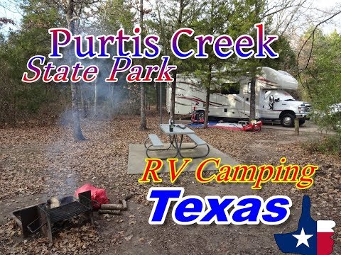 Purtis Creek State Park
Texas State Parks
 Ray Roberts Lake State Park - Isle du Bois Unit
Texas State Parks
 Ray Roberts Lake State Park — Johnson Branch
Texas State Parks
 San Angelo State Park
Texas State Parks
 Sea Rim State Park
Texas State Parks
 Sheldon Lake State Park and Environmental Learning Center
Texas State Parks
 South Llano River State Park
Texas State Parks
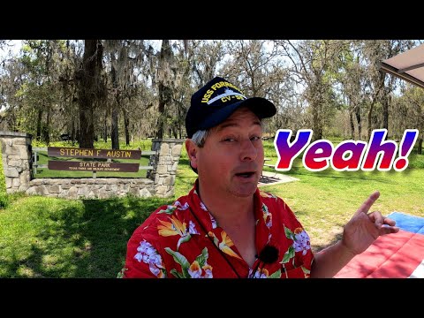 Stephen F. Austin State Park
Texas State Parks
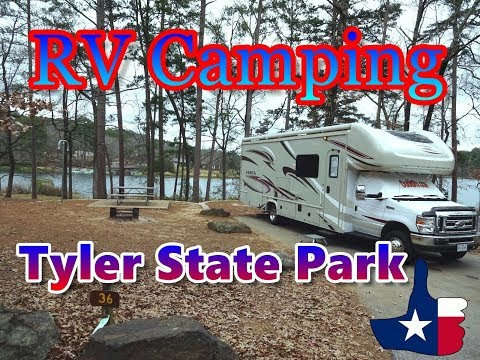 Tyler State Park
Texas State Parks
 Village Creek State Park
Texas State Parks
 Walter Umphrey State Park
Texas State Parks
Huntsville State Park (Site 14)
Texas State Parks
While you’re here
Nearby Stops Worth a Look
Find More Details in Atlas
Where this stop sits
Dude RV Atlas
Atlas pin · poi-179
Palo Duro Canyon State Park
Find More Details in Atlas →Discover nearby adventures, community insights, related gear, businesses, routes, and everything connected to this destination.
Camp scores
Dude Score: waiting on Dude.
Be the first to score this camp.
Scouted by: No approved campsite cards yet.
Pin Board
- No badges or pins yet.
Add a campsite card
Drop a pin
Tap the map to fill the GPS for a camp that is not on the map yet.